Posts

Showing posts from October, 2019

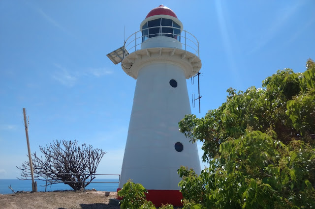
Cape Cleveland Light House
Image
The Cape Cleveland Lighthouse is an active, heritage-listed lighthouse marking the northern point of Cape Cleveland and the hazardous reefs and rocks situated on the approach to Cleveland Bay.  The lighthouse is located approximately 21.2 km from the South Townsville Boat Park or 25.6 km from the Palleranda Boat Ramp and the beach access to the lighthouse has the following GPS coordinates  S19 11 05.8  E147 00 54.4   Google Map Link The lighthouse is located on a northerly facing promontory approximately 53 m above sea level and displays a flashing multi coloured sector light every 7.5 seconds.  The red sector which projects into Bowling Green Bay signifies the hazardous navigational area between Salamander Reef and Four Foot Rock. The Bowling Green Bay side of the promontory has a very rugged and scenic coastline which is great for photographing and exploring in close with a kayak during calm to moderate conditions.  Access to the lighthouse is ...
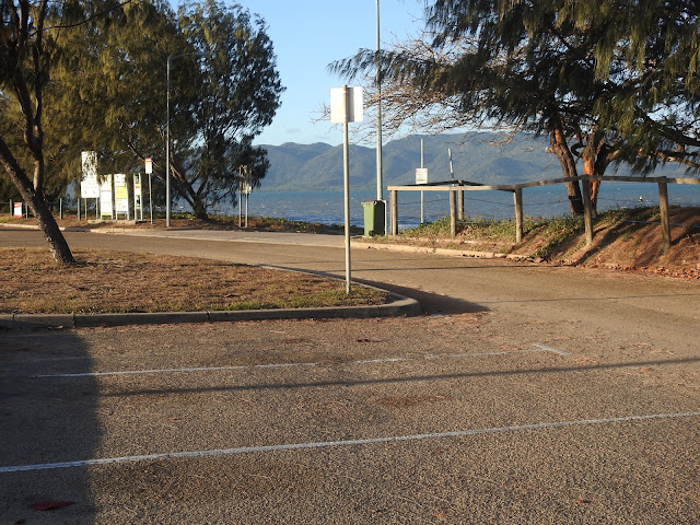
Palleranda Boat Ramp

Image
Palleranda boat ramp is located towards the end of Cape Palleranda Road and is an ideal spot for launching a sea kayak.  The GPS coordinates for the boat ramp are S19 11 50.1  E146 46 28.2   Google Maps Link. The Palleranda boat ramp provides easy access to a gently sloping sandy beachfront, which makes for easy and hassle free kayak launches and landings.  It is an ideal launch site for trips to Magnetic Island,  Shelly Beach, Bay Rock, Middle Reef, and exploring the Townsville coastline north of the Strand. The boat ramp has an unusual design, made up of small interlocked concrete blocks with deep wide grooves set  between them.  As there are no raised side walls, sand tends to build up on top of the ramp in a mound just above the high tide level. (Photo courtesy of Gerry Lyn from Townsville Kayak Club ) This sand is not a problem for most vehicles with good ground clearance, but if you are concerned, you could stop yo...